Phase III ESA and Remedial Action Plan at Fort Providence Ferry Landings and Maintenance Compound
Location
Fort Providence, NWT
Expertise
Environmental
Bridges
Contaminated Sites Management
Environmental Assessment
Share
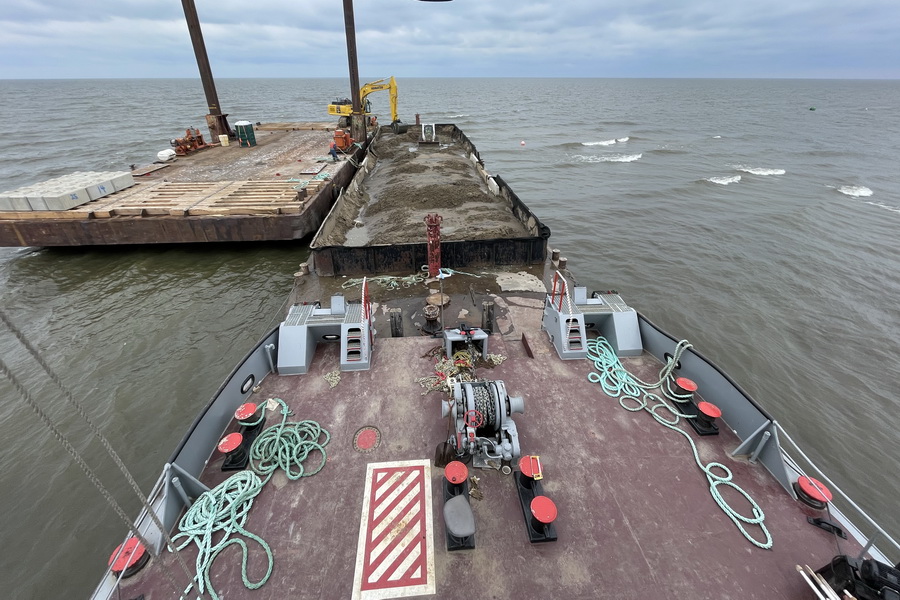
The Deh Cho Bridge was opened to traffic in 2012, thus ending the need for the Merv Hardie Ferry, north and south landings, and the Dory Point maintenance facility, southeast of Fort Providence, NT.
The Government of the Northwest Territories, Department of Transportation retained Associated Environmental to complete a Phase III Environmental Site Assessment and Remedial Action Plan Options Study.
The purpose of the Phase III ESA was to identify, delineate, and quantify environmental impacts on soil, surface water, groundwater and hazardous building materials at the sites. The Options Study provided alternatives based on the Phase III ESA findings, each of which reflect Class D Cost Estimates to remediate to Parkland (north and sound landing) and Industrial (maintenance facility) standards, including the benefits and disadvantages of each remediation option, and environmental effects from the remediation activities.


Project Highlights


Our knowledge and experience gained during construction of the Deh Cho Bridge helped us better scope the work, identify local contractors and develop a well thought out work plan that was received favourably by the Department. Following remediation, the Department will be developing the land into a viewpoint and picnic destination for travelers.
More Environmental Projects
See all projects

Environmental
37 Street SW Storm Trunk Relocation

Environmental
McIntyre Dam Fish Passage

Environmental
Community Lands Engagement Study & Environmental Site Assessment

Environmental
Drinking Water System Improvements in Quaaout Community

Environmental
Meadow Valley Groundwater Availability Study


Environmental Assessment
Fischer-Hallman Road Environmental Assessment


Buildings
Corix Biomass Energy Centre

Soil Bioengineering
Blackmud Creek Erosion Feasibility Study and Design

Environmental
Environmental Assessments, Southeast BC


Transportation
Regulatory Application and Approvals, Valley Line LRT

Environmental Assessment
Phase I Environmental Site Assessment

Contaminated Sites Management
Phase I and II Environmental Site Assessment – Margaret’s Landing Development

Environmental
Community-Based Monitoring Software Project

Environmental
Phase I and II Environmental Site Assessments and Compliance Audit Great Glacier Salmon Plant and Camp

Environmental
Revegetation Manual Revisions
LEADERSHIP INSIGHTS
See all insights