Location
Niagara-on-the-Lake, Ontario
Expertise
Infrastructure
Irrigation
Share
With the extensive fruit and grape production that occurs in Niagara-on-the-Lake, providing adequate support to local farmers regarding irrigation has become critical to economic viability.
At present, the Town of Niagara-on-the-Lake operates an expansive irrigation system that is tied into the Municipal Drainage system. It draws water from the Niagara River, Ontario Power Generation hydro reservoir and the St. Lawrence Seaway Canal. The system does not currently provide enough water to meet the local demand throughout the growing season, resulting in the use of potable water for irrigation and in some instances potable water theft.
Irrigation is generally practiced from May 15 to September 15, with most greenhouses beginning April 1 and continuing into December. Most farmers irrigate only if there are two consecutive weeks without rain during this period. Tender fruit farmers generally apply 38-51 mm of water per irrigation set, and sometimes up to 100 mm of water. The amount of water being applied is measured using rain gauges and irrigation is continued until the desired water is collected by the gauge. In general, grape growers irrigate less than tender fruit farmers, requiring as low as 25 mm of water. However, when applying water under dry conditions, grape growers will require a higher rate and longer duration of irrigation, thus directly competing for water from tender fruit growers and putting signification strain on the water supply.


Project Highlights


The Town of Niagara-on-the-Lake retained the services of Associated Engineering to develop an Irrigation System Strategy. The strategy will be the first comprehensive irrigation plan for the Town and will serve as a first step toward improving customer levels of service, long-term growth and sustainability, and state of good repair of the Town’s irrigation system.
More Infrastructure Projects
See all projects


Downtown and Main Street Revitalization
West Rossdale Redevelopment


Environmental
Sicamous to Armstrong Rail Trail Agricultural Component


Infrastructure
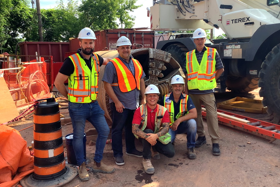
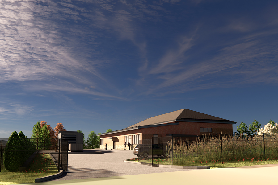
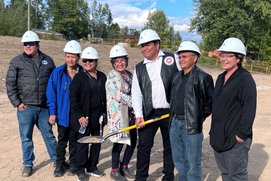
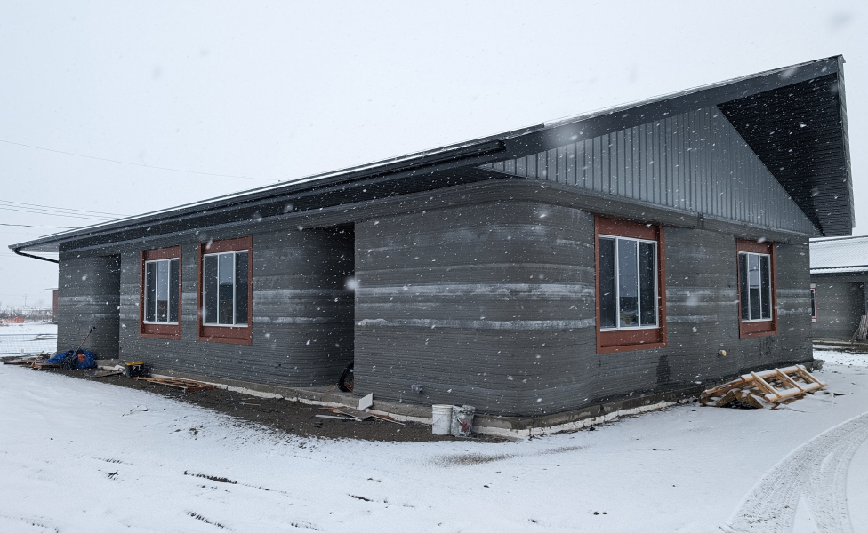
Pelican Lake First Nation Water Treatment Plant Expansion

Infrastructure
Lakeshore Drive Redevelopment

Infrastructure
Calgary Northwest Inner City Drainage Study

Parks & Recreation
Pexsisen Elementary School

Streetscaping
Langford Cultural District

Infrastructure
Pelham Patrol Yard Fuel Tank Replacement

Infrastructure
Greens on Gardiner

Infrastructure
East Brampton Trunk Sanitary Sewer Twinning

Infrastructure
Melville Water Treatment Plant

Infrastructure
Burnaby Lake Rowing Club Pavilion Floating Dock

Infrastructure
Tsawwassen Mills Mall

Pedestrian Bridges
Dayton Street Pedestrian and Cycling Overpass

Streetscaping
Nigel Valley Public Spaces
LEADERSHIP INSIGHTS
See all insights