
Location
Saskatoon, Saskatchewan
Expertise
Traffic Engineering
Transportation Planning
Share
In 2016, as part of its master plan to transform the downtown and its physical and perceptual connection to adjacent west-side neighbourhoods, the City of Saskatoon embarked on a 12-month initiative – Imagine Idylwyld – to “improve the function, safety, connectivity and quality of the roadway and public realm along Idylwyld Drive, between 20th Street and 25th Street”.
Associated Engineering was responsible for the transportation engineering component, including traffic analysis, design, and estimating.
Given the prominence of Idylwyld, the project included three invitational stakeholder consultations, two online surveys and two public events to collection information. We used advanced traffic analysis and modelling to create a transportation design paradigm. PTV Vistro software (for intersection-level analysis) and PTV VISSIM traffic model simulation, animation fly-through software easily enabled the team to visualize, present, analyze and discuss multiple scenarios, rather than the traditional three or four alternatives.

Client
City of Saskatoon

Project Highlights


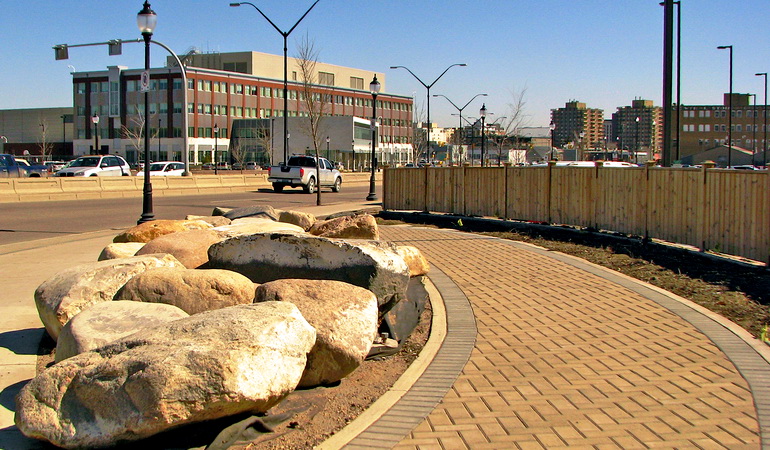
The preferred solution removes a driving lane to accommodate a protected cycle path and wider sidewalks. The innovative plan cleverly uses less street space to improve traffic flow and conditions for all stakeholders and achieves the City’s goals for land use and transportation. Engineering, art, landscaping, signage, and lighting combine to transform Idylwyld Drive into a safer, inviting, sustainable streetscape that connects and blends into adjacent neighbourhoods.
More Traffic Engineering Projects
See all projects


Highways
Saskatoon ITS Needs Assessment


Active Transportation
Highway 1 at Mountain Highway Interchange

Transportation
7 Avenue S. Bike Boulevard

Intelligent Transportation Systems
City of Prince Albert Traffic Signal Timing Design

Infrastructure
Glenmore Landfill Entrance

Transportation
Northwest Territories ITS Program

Environmental Assessment
Homer Watson Boulevard Widening & Corridor Study

Highways
Highway 9 Improvements

Transportation
St. Albert Transportation Master Plan

Intelligent Transportation Systems
City of St. Albert ITS Strategic Plan

Transportation
Bobtail Forest Service Road Overpass

Infrastructure
Market Crossing Commercial Development

Roads
Speed Data Collection & Speed Minder Program White Paper
LEADERSHIP INSIGHTS
See all insights


