
Location
Fort Chipewyan, Alberta
Expertise
Roads
Share
The Regional Municipality of Wood Buffalo provides seasonal access to the community of Fort Chipewyan through the annual construction and maintenance of a winter road.
This vital link provides ground transportation access between Fort McMurray and Fort Chipewyan, allowing the supply and delivery of goods, fuel and equipment to meet the needs of the community.
Associated Engineering has been involved with the Fort Chipewyan Winter Road project on an annual basis for the Regional Municipality of Wood Buffalo since 2012. During this time, Associated Engineering’s role has involved:
- Contract administration
- Site inspection
- Preparing regulatory approval submissions
- Tracking water usage for environmental purposes
- Monitoring/ verifying ice thicknesses
- Design of plans for various portions of the road such as signs, ramps and bypasses
- Support during community engagement.


Project Highlights

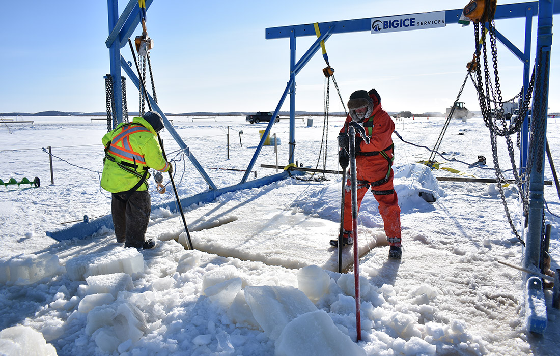


The winter road is open and operated for three to four months of the year and is vital to the life of Fort Chipewyan community as it provides the only overland link to Fort McMurray. As the seasonal road conditions are constantly changing, Associated Engineering has provided an integral role to assist the Municipality in a successful and on-schedule completion of the project.
More Roads Projects
See all projects


Highways
Saskatoon ITS Needs Assessment


Roads
Tibbit to Contwoyto Winter Road Dispatch Software

Infrastructure
Glenmore Landfill Entrance

Transportation
7 Avenue S. Bike Boulevard

Transportation
Haisla Bridge Replacement

Streetscaping
Langford Cultural District


Building Mechanical
St. Albert Naki Transit Centre and Park & Ride

Transportation
Transportation Planning and Functional Design of Burquitlam-Lougheed Neighbourhood Greenways

Transportation
Edmonton Valley Line – Stage 1

Intelligent Transportation Systems
City of Prince Albert Traffic Signal Timing Design

Land Development
Blackwolf Community Development

Transportation
184 Street and Yellowhead Trail Interchange

Landscape Architecture
49th Avenue Reconstruction

Infrastructure
Roads and Drainage Construction, Lake Babine Nation

Roads
North West Welland Secondary Plan
LEADERSHIP INSIGHTS
See all insights


