Location
Burnaby, British Columbia
Expertise


Share
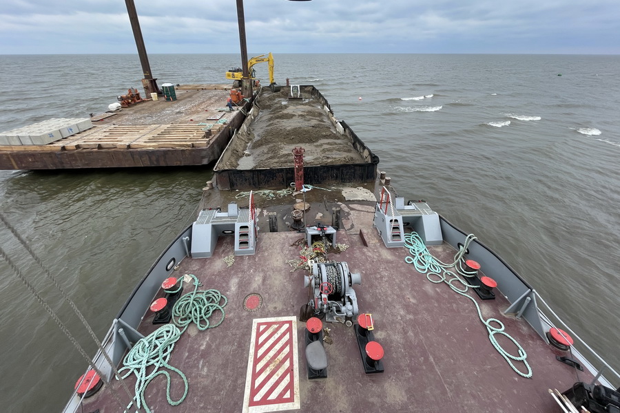
Associated Engineering was retained by the City of Burnaby to complete a Master Drainage Plan (MDP) to help the City to effectively manage stormwater and flooding conditions in the study area.
The Big Bend MDP focusses on the Fraser River floodplain located between Burnaby’s South Slope and the Fraser River. Drainage of the study area is affected by tidally influenced water levels in the Fraser River. In the future, climate change impacts, including changes to precipitation patterns and projected sea level rise of 1 m in magnitude or more by the year 2100, will increase the risk of flooding. The objective of the MDP is to efficiently evaluate the capacity of the existing drainage system and quantify the impact of flooding in the Big Bend study area.

Client
City of Burnaby

Project Highlights


A hydraulic 1D/2D computer model was created using MIKE-FLOOD, MIKE-URBAN and MIKE-21 FM to represent the storm system for the study area. MIKE-21 FM was used to model the major system (overland flow) in 2D. The 1D model was utilized to model components such as small and medium natural waterways, pipes, ditches, culverts, stormwater ponds, pump stations and flow control structures. The 2D model, on the other hand, contains all major topographic features, such as roads within the street network and adjacent properties, railways, channels and dikes so that overland flooding and surface conveyance will represent the current topographic condition. The benefit of this approach is that it provides the City with information on where the uncollected or surcharged water goes when it flows through the project area.
People on this project

More Environmental Projects
See all projects


Buildings
Climate Change Risk Assessment for Buildings


Contaminated Sites Management
Sioux Lookout Phase I Environmental Site Assessment

Environmental
Environmental Screening, Clearance Reporting and Post-Reclamation Construction Monitoring on Line 21

Environmental
37 Street SW Storm Trunk Relocation


Infrastructure
Roads and Drainage Construction, Lake Babine Nation

Sustainable Management
Environmental Management System and Legislative Compliance Assessment

Transportation
Edmonton Valley Line – Stage 1

Environmental
Phase I Environmental Site Assessment of 10 Housing Units

Contaminated Sites Management
Phase I and II Environmental Site Assessment – Margaret’s Landing Development

Soil Bioengineering
Blackmud Creek Erosion Feasibility Study and Design

Environmental
Stage 1 & 2 Preliminary Site Investigations and Limited Detailed Site Investigation

Infrastructure
Drainage Improvement Study

Transportation
2021 Flood Recovery – Nicomen Community Bridge Planning Study

Transportation
Technical Expert for Deerfoot Trail Improvements Procurement and Delivery Process

Environmental
McIntyre Dam Fish Passage
LEADERSHIP INSIGHTS
See all insights