Location
Lockport, Manitoba
Expertise
Transportation
Bridges
Bridge Asset Management & Inspection
Bridge Rehabilitation & Retrofit
Infrastructure
Structures
Water Supply, Storage, & Distribution
Share
The St. Andrews Lock & Dam (SALD), located in Lockport, Manitoba, was constructed in the early 20th century to facilitate commercial navigation from Lake Winnipeg to the City of Winnipeg by drowning the Lister Rapids during the navigation season.
The facility is operated and maintained by Public Works and Government Services Canada (PWGSC) and consists of a dam, a navigation lock, a fish ladder, and a two-lane traffic bridge. Most operational features of the dam and lock for navigation purposes remain unchanged from its original opening date.
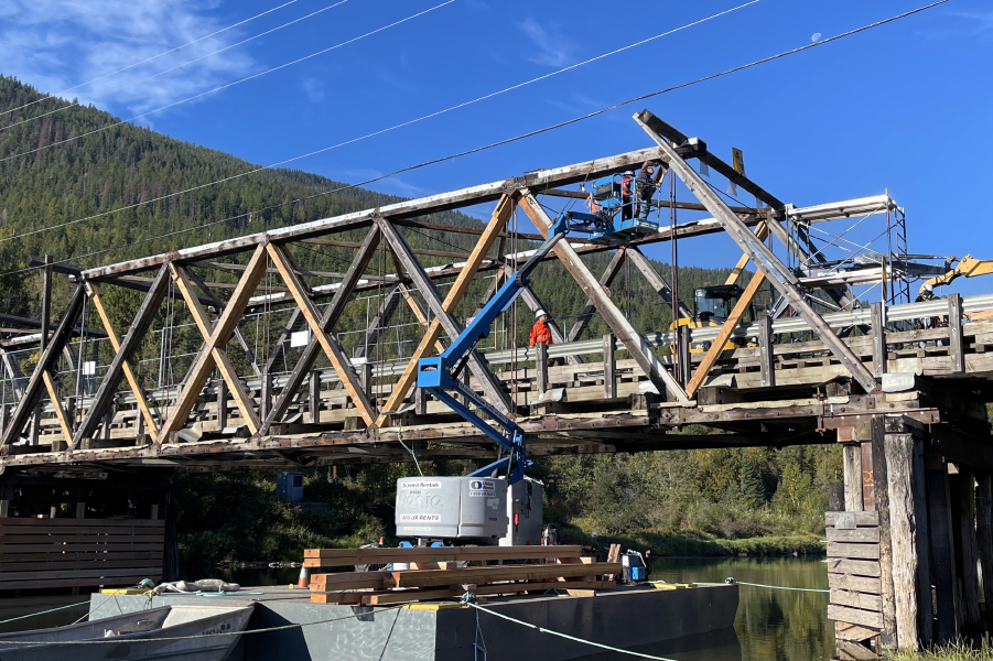
The dam and traffic bridge are inspected regularly above and below water, according to the PWGSC Dam and Bridge Inspection Policies and Procedures. Following Associated Engineering’s success in ranking first in Western Canada on the PWGSC standing offer for Civil Engineering Services, Associated Engineering’s Winnipeg office was awarded the 2015 inspection program.

Client
Public Works and Government Services Canada
Award
ACEC-Manitoba Award of Merit
Award
Engineers Geoscientists of Manitoba (EGM) Team Achievement Award

Project Highlights
270m
Long


In order to meet the technical requirements and project timelines, delivery of the assignment was a “One Company” collaborative effort led out of the Winnipeg office. Staff from other offices with specific technical expertise related to dam operations, structural/seismic evaluations, and bridge inspections were instrumental in completing the tasks to date and were key in production of the final deliverables.
Here are some facts about the dam and bridge (courtesy of the Government of Canada):
- the dam and bridge is 270 metres long
- it crosses the Red River at Lockport
- there are 7 concrete piers
- each pier is 15 meters high
- steel trusses that are about 40 metres long span between the piers
- the piers are joined at the bottom by a 6-metre-high by 11-metre-wide concrete sill or fixed dam
- there are 15 steel frames per span
- the exception is that one span has 14 frames and a fish ladder so that fish can migrate through the dam
- The roadway over the dam also goes across the lock
- The speed limit is 50 km/h and the road has a load restriction of 36 tonnes
People on this project
More Transportation Projects
See all projects


Transportation
Sutherland Ave Pedestrian Bridge

Transportation
Broadway Street Improvements


Infrastructure
Chippewas of Nawash First Nation – Roads and Culvert Flood Damage Repair

Transportation
Duggan Bridge Replacement

Transportation
Highway 16 SAFE Corridor

Airports
Vancouver International Airport Parallel Runway

Transportation
BC Earthquake Integrated Asset Management Plan

Transportation
Medicine Hat Transit ITS Decision Support

Transportation
Kapuskasing River Bridge

Transportation
Shell Canterra Road

Bridges
Seymour Canyon Suspension Bridge

Streetscaping
Nigel Valley Public Spaces

Seismic Evaluation & Retrofitting
Mission Bridge Seismic Retrofit

Transportation
Saline Creek Drive Pedestrian Bridge

Bridges
Moody Street Overpass
LEADERSHIP INSIGHTS
See all insights