

City of Prince Albert Traffic Signal Timing Design
Location
Prince Albert, Saskatchewan
Expertise
Intelligent Transportation Systems
Roads
Traffic Engineering
Share
The City of Prince Albert is the third largest city in Saskatchewan and experienced a 45% increase in residential and commercial building permits between 2009 and 2010.
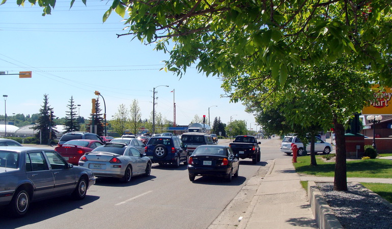
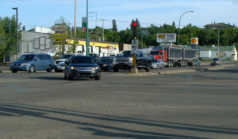
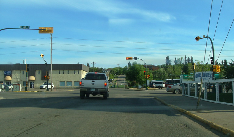
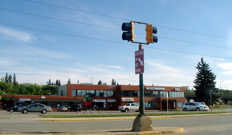
As a result of this substantial growth, Prince Albert was experiencing considerable traffic delays on 2nd Avenue, Central Avenue, and 15th Street.
The City of Prince Albert retained Associated Engineering to undertake a review of the timing of traffic signals on these corridors and determine what improvements could be made to improve traffic progression. We began the study by determining the existing travel times along each corridor during morning peak, midday peak, and afternoon peak. We also completed a traffic analysis of all of the subject intersections to confirm signal warrants using new traffic intersection counts and completed a redesign of the signal timing for four time periods, morning peak, midday peak, afternoon peak, and off-peak.
The signal timing plans were programmed into the city’s controllers in time for the Victoria May long weekend and the improvements in progression and travel time deductions were observed immediately.


Project Highlights
More Intelligent Transportation Systems Projects
See all projects

Transportation
Medicine Hat Transit ITS Decision Support

Highways
Regina Bypass ITS Infrastructure

Highways
Saskatoon ITS Needs Assessment

Intelligent Transportation Systems
Red Deer Transit – Intelligent Transportation Systems (ITS) Project Charters

Intelligent Transportation Systems
City of St. Albert ITS Strategic Plan

Transportation
Highway 16 SAFE Corridor


Bridges
Stony Trail/Bow River Bridge Fog Detection System

Intelligent Transportation Systems
Intelligent Transportation System (ITS) Technical Strategy

Infrastructure
Glenmore Landfill Entrance

Transportation
Northwest Territories ITS Program
LEADERSHIP INSIGHTS
See all insights


