Location
Calgary, Alberta
Expertise
Transportation
Airports
Structures
Share
The Calgary Airport Authority needed a new parallel runway to provide additional capacity and accommodate larger aircraft.
Concurrently, the City of Calgary wished to replace the key arterial airport access by constructing a tunnel under the runway to expand its road network, improve traffic flow, and provide for a future light rail transit line to the terminal. Each project was a major design and construction effort; delivering both projects together increased the level of complexity. As the Prime Consultant, Associated Engineering and CH2M HILL worked closely with the Program Manager, AECOM and Hatch Mott MacDonald; the Calgary Airport Authority; Construction Manager, the City of Calgary; and the contractors to deliver both projects on time and on budget.

Client
The Calgary Airport Authority

Project Highlights


The longest of its kind in Canada, Calgary Airport’s parallel runway accommodates the largest Code F aircraft and the most demanding, Category IIIa runway landing system, which allows uninterrupted aircraft operations at visibility limits down to 200 metres. During construction, runway edge and runway centerline LED airfield lighting became available. The team substituted energy-efficient LED lights for the specified runway lighting, marking the first use of LED lights for a Category IIIa runway in North America.
People on this project

More Transportation Projects
See all projects


Infrastructure
Churchill Airport Runway Upgrades

Infrastructure
Chippewas of Nawash First Nation – Roads and Culvert Flood Damage Repair


Transportation
Granville Bridge Seismic Retrofit and Renewal

Transportation
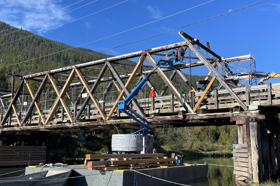
Outlook Truss Bridge Assessment

Transportation
Bellevue Creek Bridge

Transportation
Freegold Road Functional Plan

Transportation
Regulatory Application and Approvals, Valley Line LRT

Pedestrian Bridges
Hangingstone River Pedestrian Bridge

Transportation
Saline Creek Drive Pedestrian Bridge

Transportation
Don River Blvd. Bridge Rehabilitation

Airports
Nanaimo Airport Airfield Electrical Upgrading

Transportation
Overlea Blvd. Bridge Rehabilitation

Transportation
Ray Gibbon Drive Twinning

Transit
SkyTrain Crossing of South Point Drive

Transportation
Northwest Territories ITS Program
LEADERSHIP INSIGHTS
See all insights